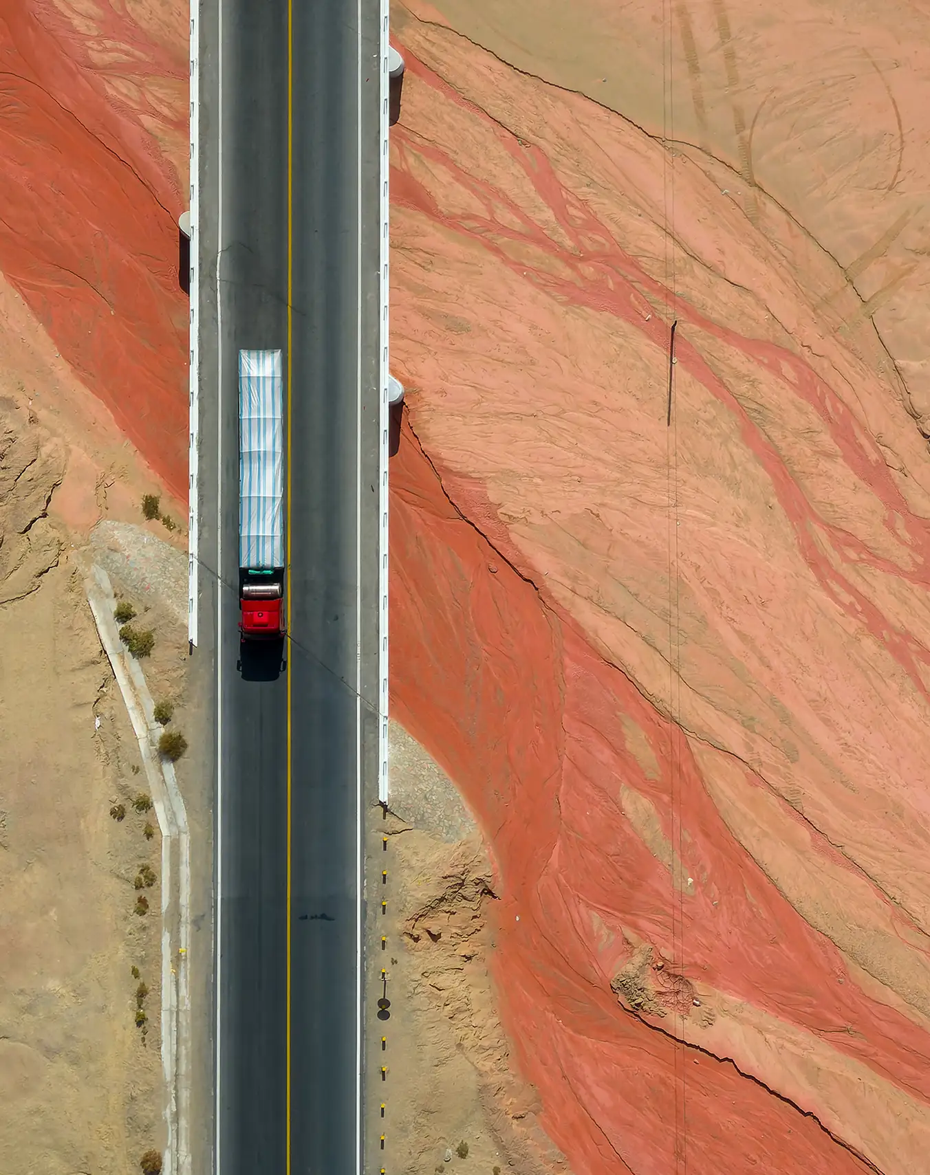
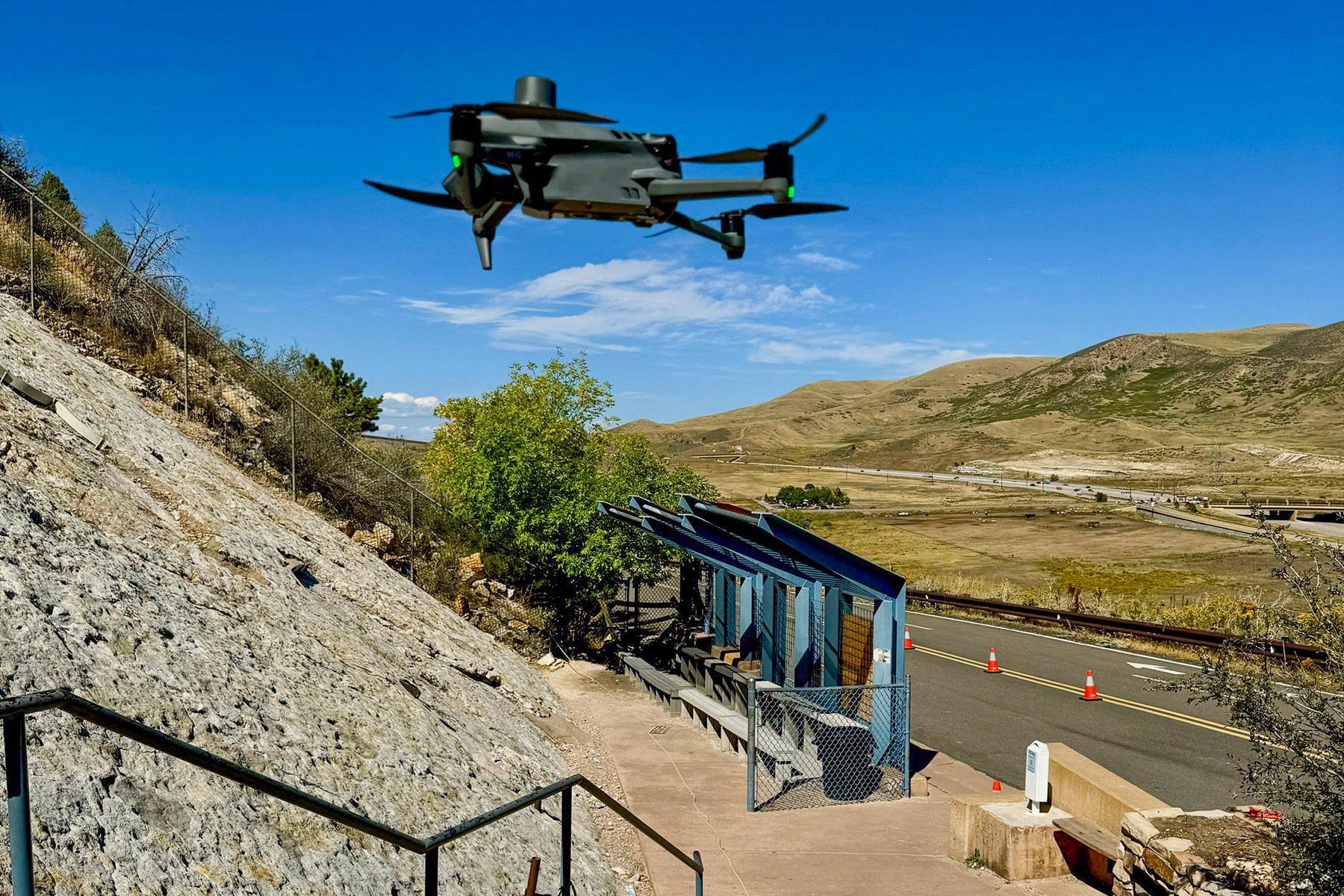
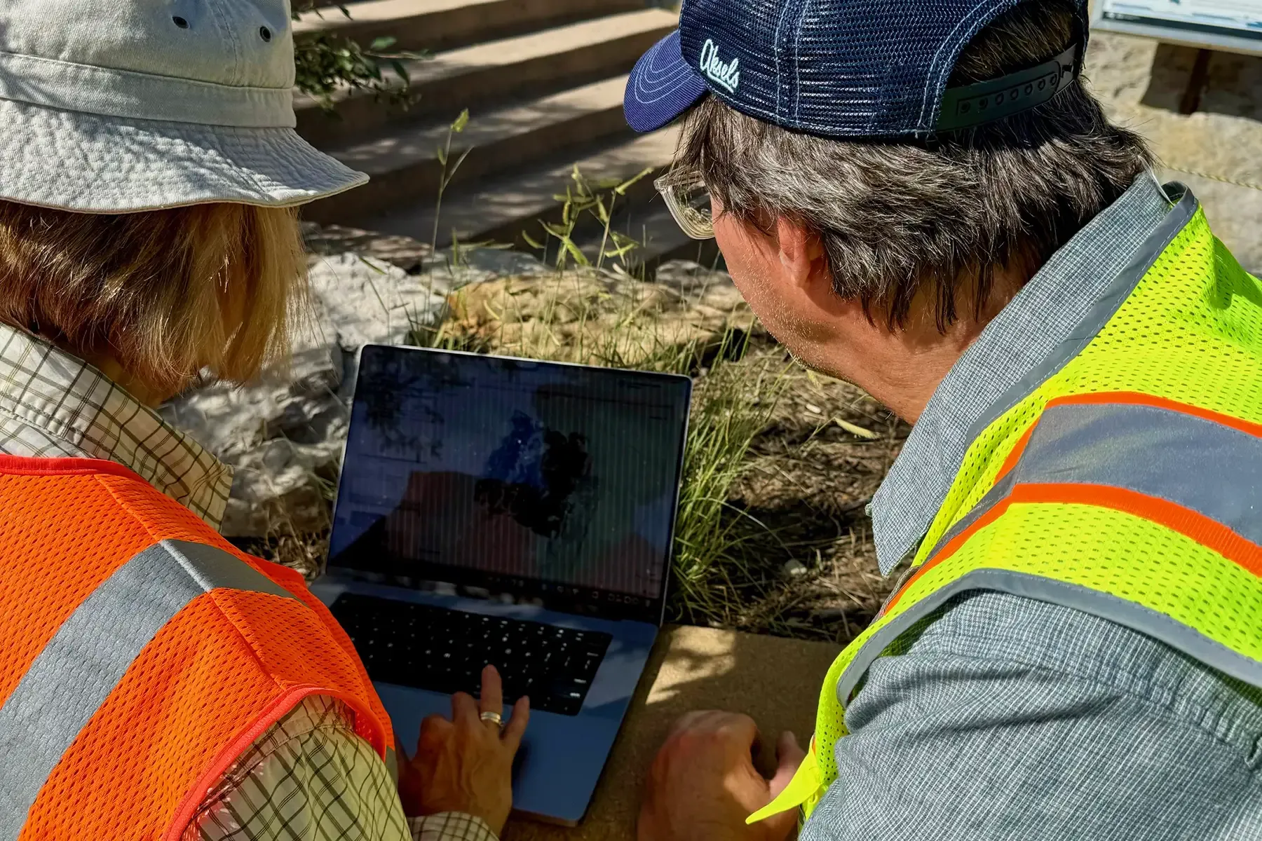
Paleo Resource Specialists delivers high-quality UAS (drone) services tailored for engineering, construction, and environmental resource consulting. Our FAA Part 107 licensed team includes award-winning aerial photographers and nationally recognized experts in photogrammetry and GIS.
We offer drone surveys, high-resolution surface analysis, 3D modeling, and complete photogrammetric services to support structural engineering and resource monitoring.

"Exceptional Work That Advances Science and Preservation"
The photogrammetry and analysis services provided by the team far exceeded expectations. The approach is organized, efficient, professional, and cutting-edge. The results are exceptional. We now have precise baseline information and some initial year-over-year analysis of surface changes in our in-situ paleontological resources, which is essential information for management and preservation decision making.
In 2024, the team proposed locating historic tracks with significant cultural and scientific value. The fact that they were able to “find” the “lost tracks” from the 1930s is important to the historical and paleontological value of the site. The fact that many/most of the “lost tracks” are lost contributes to a (relatively) long-range understanding of the dynamic nature of the site, which makes me even more grateful we’ve invested in this team’s services to thoroughly document surface conditions for monitoring purposes.
I would highly recommend this team. They are amazing. Full stop.

